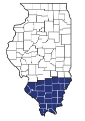
W. Galen Richison (1917-1992) researched and drew maps of the southern 28 counties of Illinois that appeared on the covers of The Saga of Southern Illinois issued from Spring 1978 through Summer 1985.
The maps show county and township boundaries, the location of towns, villages, stations, and ghost towns, as well as trails, railroads and highways. They were published in book form in 1986, with the date of origin, parent county, the source of the county's name, and the present county seat added below each map.
The book from which these maps were taken was dedicated to Richison, a native of Wayne County, Army Air Force veteran of World War II, and Project Engineer at Southern Illinois University Carbondale during the rapid expansion of the campus in the 1960's. "Richie," as he was known to his friends, held several positions on the Executive Board of GSSI, chaired its map committee, and inventoried many of the cemeteries in Jackson County.
To view any of the maps, click on the County name from the list below. All maps are in black/white PDF format so you can view or print them. All maps are copyright by the Genealogy Society of Southern Illinois. They may be freely copied for personal use but may not be reproduced in print form or on the internet without the express permission of the GSSI. If you find these on-line versions of Richie's maps useful, please consider joining GSSI for other benefits. You could also make a tax-deductible donation to our Society by visiting the Donate page on our website.